Show the versions.
“Does the same notch appear in the original frames and another sonar pass—or only in the versions we circulate?”
Korea × Baltic ↑Jesse, the Korean clip reminded me of the Baltic shape.
Here is the comparison I would put on screen—and what I would ask next.
A rounded shape, open-looking on one side. Switch between the full frame, the replay enlargement and two different sonar views.
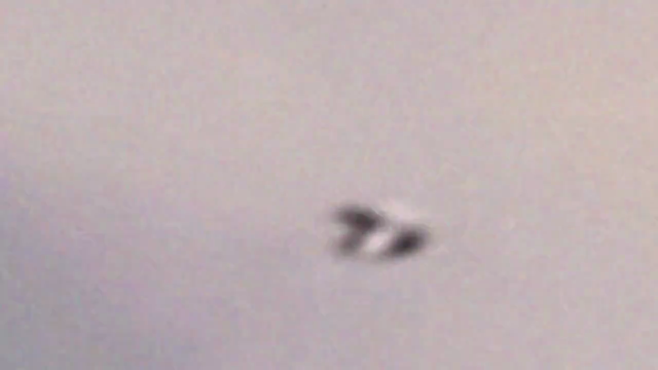
The source video itself switches to an enlarged replay. This is useful for examining the claimed outline, not a new observation or our enhancement. Its processing history was not recovered.
xxxdonutzxxx / WorldPix; reposted by John Greenewald Jr. ↗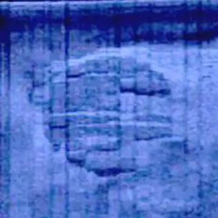
Ocean X survey-image reproduction. Acoustic return, not an optical photograph; the boundary is poorly resolved here.
Ocean X; reproduction via Expressen / Wikipedia ↗What I see: an open-looking interruption in selected Korean frames, and a less clearly resolved boundary in the Baltic side scan. It is a resemblance to investigate, not an established identical structure.
What would move it forward: consecutive camera-original frames, the sonar acquisition data and a comparison that does not rely on a drawing. The supplied Baltic collage ↗ mixes a labelled reconstruction with sonar imagery.
This does not come from the later interview. An expedition update from 2 April 2012 describes readings on anchors that had been on the bottom 2–3 km from the circle.
The post omits the detector, calibration and time basis. I would ask for that measurement record before comparing it with radiation reports at the ranch.
Read the expedition update ↗Open a card for the source images, video where available, publication history and the next useful question.
The inland dark feature, Two Hummock coastline and South Georgia ice trail are separate locations. Select a pin or a name.
Pins identify locations in the image claims, not confirmed craft. Airborne Korea is not a stable site; the building location is unverified; no lunar coordinates are supplied.
Loading geographic context…
“Does the same notch appear in the original frames and another sonar pass—or only in the versions we circulate?”
Korea × Baltic ↑“Before we call this a landing track, where does the trail begin—and what does the slope above it look like?”
“Which features survive independent reprocessing—and is there a simultaneous recording from another observing site?”
These would be additional visual and research questions before an interview—or an annotated follow-up afterwards. They are not claims that Jesse missed a proven connection.
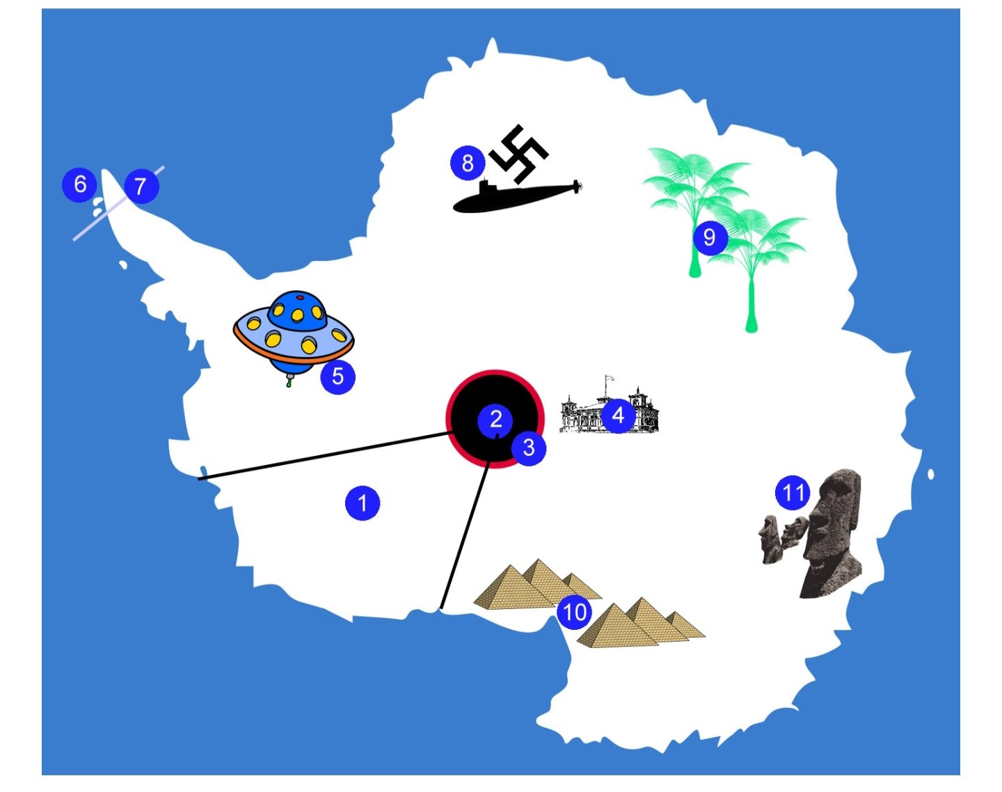
The P. Ziaee post points back to a map whose original publisher explicitly says the claims are made up. Its security penguins and plywood mountain barrier are deliberate jokes. I kept the source chain, but did not turn its symbols into base coordinates.
Read the original explanation ↗Image: Cool Antarctica; circulated in the supplied post. Source excerpt, original rights reserved. Historical/extremist symbol appears as part of the source's satirical depiction, not endorsement.
Exact X post metadata retrieved through public FxTwitter mirrors; direct X access was unreliable. Selected downloaded images and video frames were visually reviewed. Public auto-captions support the Burlison timings; they were not newly audio-verified. Original camera files and lunar observing videos were not acquired.
Source excerpts retain their original copyrights and credits. No permissive reuse licence was established. They are not included in the site's CC BY dataset licence. Full acquired repost videos stay in the private research archive; public playback uses the original publisher's embed or link.
Kim Eun-ji, 31 July 2012; reported passenger-plane story, without a named passenger or flight.
Open the source ↗Official documented navigation use at the mapped location; does not authenticate the UFO allegation.
Open the source ↗Repeats the BAS specialist's crevasse/shadow interpretation attributed to MailOnline; original interview robots-blocked. Not a newly acquired BAS field report.
Open the source ↗Direct public metadata: 27 July 2012 02:23:20 UTC, 63 s; download 403. Current description assigns WorldPix distribution rights.
Open the source ↗24 September 2024; exact post via mirror. Compares Korea with Yukon, not Baltic. Duplicate input URL counted once.
Open the source ↗25 September 2024; 62.74-second repost downloaded; selected frames reviewed. No endorsement or original recorder verification.
Open the source ↗31 July 2012; Busan/26 July described as reported, not authenticated camera metadata.
Open the source ↗28 July 2012; embeds original YouTube ID; earlier credited Gather article unavailable.
Open the source ↗Relevant CGI/uploader allegations; not treated here as conclusive frame-level proof that this particular clip is fabricated.
Open the source ↗17 February 2026; exact post via mirror; annotated map, not sighting footage.
Open the source ↗16 March 2026; 159.747-second edit downloaded; selected frames reviewed; editorial Seoul suggestion.
Open the source ↗30 January 2026; public auto-captions 35:38–36:14: reported overseas object; location withheld.
Open the source ↗17 February 2026 upload; auto-captions 1:48–2:24 Greer's claim; 3:02–3:21 Burlison rejects a particular building. Not a new audio-verified transcription.
Open the source ↗4 August 2026; exact post via mirror; attached still is manuscript Figure 1.
Open the source ↗March 2026 manuscript; DOI 10.13140/RG.2.2.13866.79042; all nine pages read and selected figures inspected. Forum-hosted posting does not establish institutional endorsement or peer review.
Open the source ↗25 November 2025 upload; September 7 times 19:09:28 / 20:05:03 UT differ from March's 23:05:02 / 23:27:49 UT; separate runs versus correction unresolved.
Open the source ↗14 September 2015; exact post via mirror; Google image, not Moon or Two Hummock.
Open the source ↗David Trayner, 14 September 2015; reported coordinate, Degterev claim, Google credit and alternative interpretations.
Open the source ↗Libby Plummer, 15 June 2015; February 2012 imagery date remains a reported date, not recovered product metadata.
Open the source ↗30 January 2024; exact mirror post and original PNG; supplied Earth coordinate matches this family.
Open the source ↗Official geographic naming context, not evidence about the alleged object; gazetteer positional precision is unspecified.
Open the source ↗Title and author verified by YouTube oEmbed; exact 10 June 2021 upload date is secondary; video not downloaded.
Open the source ↗18 June 2021; reported image date 14 January 2011; size/pin differs from other coverage; identity unresolved in article.
Open the source ↗16 June 2021; same coastal feature; accompanying saucer illustration is not additional satellite evidence.
Open the source ↗14 February 2025; embeds AlphaFox's 12 February video. Downloaded 58.566 s; selected frames inspected; includes unrelated space illustrations.
Open the source ↗26 May 2018; South Georgia, not Moon. Exact post and image recovered via mirror; article shortlink chain not fully resolved.
Open the source ↗5 March 2018; original authorial analysis read; landslide/block interpretation, with precise detachment mechanics left open.
Open the source ↗Title/author verified by YouTube oEmbed; discussed by Petley on 5 March 2018. Publicity year is not a crash date.
Open the source ↗12 January 2024; exact post via mirror; misplaced in the Korea input. Its source is satire, not a map of documented bases.
Open the source ↗Original page explicitly says the map's claims are made up; includes security penguins and a plywood barrier. No pins imported into our case map.
Open the source ↗Low-resolution 2011 survey-image reproduction credited to Ocean X, via later Expressen publication. Copyrighted; not a permissively licensed photograph.
Open the source ↗28 June BlueView multibeam display; 15 June top-opening description; 27 July drawing describes unresolved upper/lower gap. Different representations, not identical camera photos.
Open the source ↗Reports 0.63 versus a stated normal 0.1 milliSieverts on anchors used 2–3 km away. No instrument, calibration or time denominator supplied; not verified dosimetry at the circle.
Open the source ↗Visible search-result collage inspected: a labelled reconstruction alongside different sonar images. Not a single photograph. Original Facebook image retrieval returned an HTML challenge; not archived as an image.
Open the source ↗