Brown Mountain
Also: Brown Mountain lights
LOOK CLOSER
The visual record
Illustrations, recordings and archival references — each with its own provenance. A documented source is a starting point for investigation, not a verdict on its explanation.
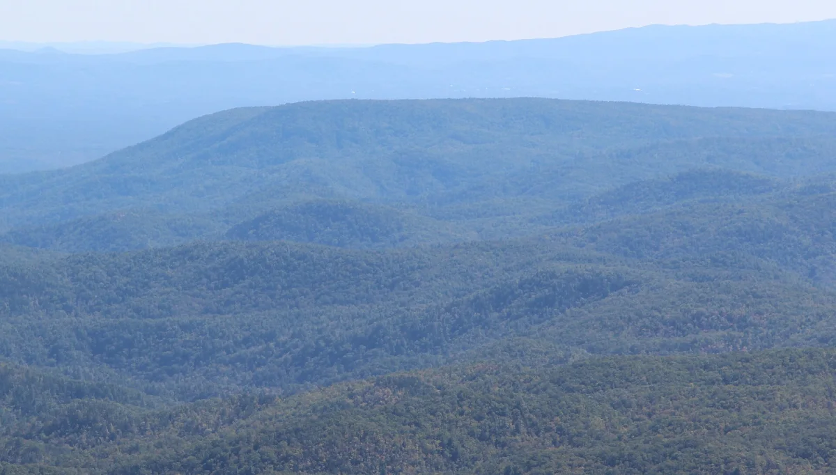
Brown Mountain from Beacon Heights
Brown Mountain from Beacon Heights, October 2016. Daytime landscape. Location context — not a photograph of any reported object.
Thomson200 ↗CC0 1.0Licence terms ↗Resized and WebP-converted for display; content unchanged.A ridge in the Pisgah National Forest, North Carolina, where lights have been reported since at least 1913. US Geological Survey studies attributed most to trains, cars and brush fires. Not discussed in the interviews; included from public sources only.
Where the pin is
35.9200, -81.7500 exact
Brown Mountain summit from public gazetteer.
Burke County, North Carolina, United States
On the map
Brown Mountain. Open the full map filtered to this record.