Shag Harbour
Also: Shag Harbour, Nova Scotia (1967 incident)
LOOK CLOSER
The visual record
Illustrations, recordings and archival references — each with its own provenance. A documented source is a starting point for investigation, not a verdict on its explanation.
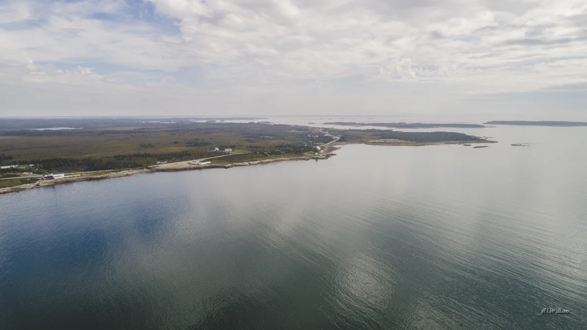
Shag Harbour coastline
Aerial location context, not a photograph of the 1967 incident.
J5255 · 2017 ↗CC BY-SA 4.0Licence terms ↗Resized and WebP-converted for display; content unchanged.A fishing village in Nova Scotia where witnesses saw an object with lights enter the water on 4 October 1967. The Royal Canadian Navy searched the seabed and Canadian government files on the case are public. Not discussed in the interviews; included from public sources only.
Read the full account
Source review, September 2026: Read the fixed-locations investigation for the obtained records, source differences and remaining tests.
Where the pin is
43.5083, -65.7500 approximate
Reported last-sighting position in RCC 076, 5 October 1967; not a surveyed wreck or entrance.
Nova Scotia, Canada
On the map
Shag Harbour, Shag Harbour incident. Open the full map filtered to this record.
