Yakama Indian Reservation
Also: Toppenish Ridge lights
LOOK CLOSER
The visual record
Illustrations, recordings and archival references — each with its own provenance. A documented source is a starting point for investigation, not a verdict on its explanation.
US Route 97 across the Yakama Reservation
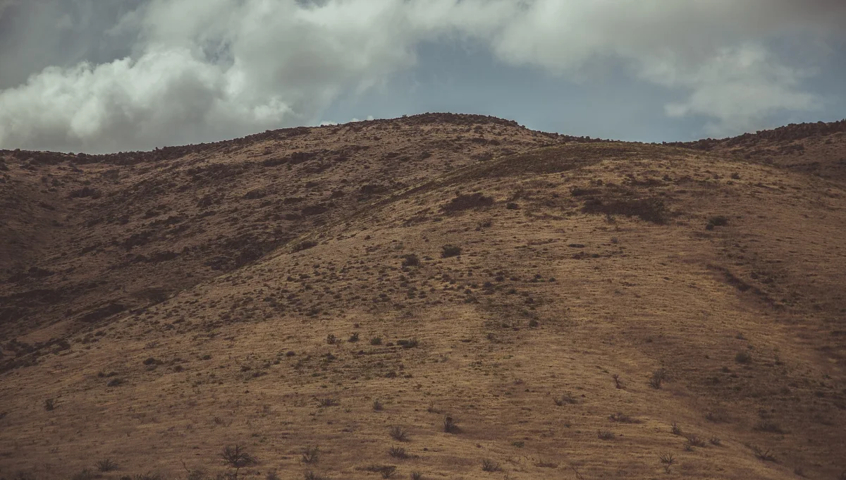
US Route 97 within Yakama Nation Reservation, May 2015. Not a light-phenomenon photograph. Location context.
Tony Webster ↗CC BY 2.0Licence terms ↗Resized and WebP-converted for display; content unchanged.Reservation land in south-central Washington where fire lookouts and tribal members reported recurring nocturnal lights through the 1970s, documented by ufologist Greg Long and studied by J. Allen Hynek's associates. The interviews do not mention it; this record comes from public sources only.
Where the pin is
46.3500, -120.5500 region
Reservation centroid from public boundary data; light reports clustered around Toppenish Ridge.
Yakima County, Washington, United States
On the map
Yakama Indian Reservation. Open the full map filtered to this record.