Yonaguni Monument
Also: Yonaguni Monument, Japan
LOOK CLOSER
The visual record
Illustrations, recordings and archival references — each with its own provenance. A documented source is a starting point for investigation, not a verdict on its explanation.
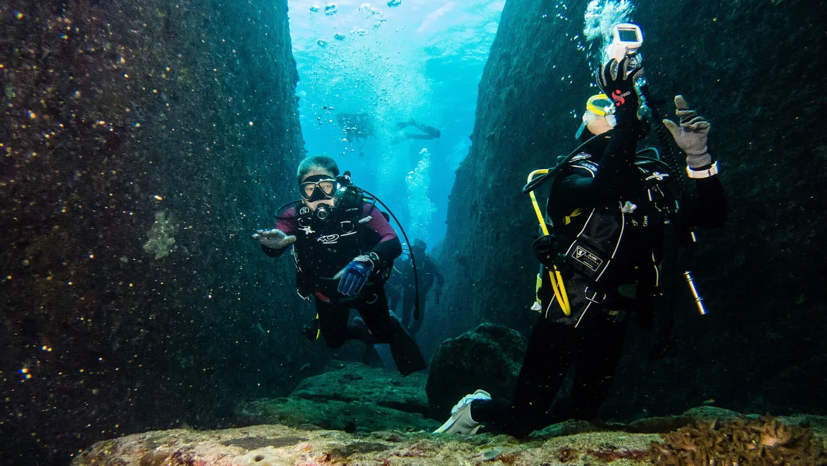
The Yonaguni underwater formation
Yonaguni's underwater rock formation with divers, February 2014. The image does not establish artificial origin. Location context.
Vincent Lou ↗CC BY 2.0Licence terms ↗Resized and WebP-converted for display; content unchanged.A submerged rock formation off Yonaguni, Japan, with terrace-like faces. One geologist argues it was worked by humans; most attribute it to natural fracturing of sandstone. Not discussed in the interviews; included from public sources only.
Where the pin is
24.4358, 123.0114 exact
Dive site south of Yonaguni from published dive coordinates.
Okinawa Prefecture, Japan
On the map
Yonaguni Monument. Open the full map filtered to this record.